สินค้า
WECDIS
WECDIS
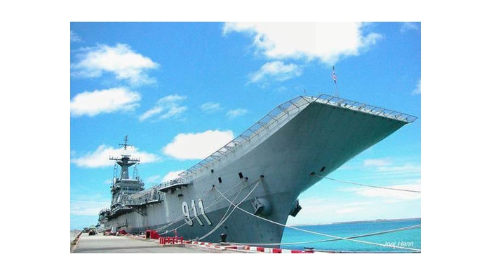
The Warship Electronic Chart Display and Information System (WECDIS) of Northrop Grumman Sperry Marine is designed to support the operational requirements of the modern NAVY.
Unprecedented Situational Awareness
Based on our successful commercial ECDIS, the WECDIS greatly reduces navigator workload and increases tactical and situational awareness for the ship’s crew on ships engaged in blue water and littoral theatres of operation. The multi-node network architecture provides seamless integration of all watch modes with common Human Machine Interfaces.
The WECDIS supports all phases of maritime navigation, including:
-
Route planning and monitoring
-
Piloting
-
Collision avoidance
-
Conning information
-
And other modes
Defence Services 24/7
WECDIS
WECDIS Support
Northrop Grumman Sperry Marine provide a range of defence services. These services include newbuild systems and retrofit solutions for navigation and control systems on board naval surface ships and submarines.
A global network of experienced service engineers take responsibility for all installations, providing 24/7 support around the world. Consulting through life and service support is offered through highly skilled and experienced service engineers and service partners.
Training and Service Support
Northrop Grumman Sperry Marine offers extensive, proven training for WECDIS operation and maintenance, including classroom and simulator instruction at training centers in Germany. Mobile classrooms and interactive courseware are among the many industry leading aids to training that ensure user and maintainer customers are fully proficient and confident in all operational and maintenance tasks. All courses are taught by fully experienced professional navigators and certified instructors, and the curriculum is accredited to IMO STCW-95 ECDIS requirements.
WECDIS Capabilities
WECDIS
Northrop Grumman Sperry Marine’s WECDIS is designed to make navigation more efficient, to help reduce ships‘ running costs, to ease installation and to simplify operation for users.
The WECDIS features an intelligent display which allows quick access to tasks that are performed during a vessel’s operation. The clever design of graphic interface and colour coding allows the operator to assess the data at a glance and navigate stress-free. Standard WECDIS features include:
Moving Havens
Enables the display and management of moving havens for waterspace management and deconfliction.
4W Grid
Allows the operator to display standard 4W grid in a user defined position, size and orientation.
Contact Tracking
Displays user defined contacts and allocates ID, course speed and warning ranges thus creating a compilation of surface picture/general ops plot on the navigation system. Contacts rendered per MILSTD-2525B. Can also provide inner and outer proximity alarms for use in helicopter operations.
Linked Object Editor & Saved Templates
Allows the user to create personal chart corrections or hydrographic notes from a template and to link to own platform and other targets.
Compliance with International Standards such as:
-
NATO STANAG 4564 (WECDIS)*
-
NATO STANAG 7170 (Additional Military Layers)
-
Support BR45 Admirality
-
Manual of Navigation
-
Type approved to IEC62388, IEC 61174 (ECDIS) and IEC62288 performance standards
Export Approval
The Northrop Grumman Sperry Marine BV, Warship Electronic Chart Display and Information System (WECDIS) is an export controlled product and thereby subject to the International Traffic in Arms Regulations (ITAR) of the United States of America as well as it being subject to the Export Control Act of the United Kingdom. For more information contact us.
Increase Navigation Safety
WECDIS
Cutting-Edge Solution
Over 70 Navies and Coast Guards worldwide are using the Northrop Grumman Sperry Marine solutions to support their activities. The WECDIS provides vital information, supporting safe navigation, policing and military activities. With combined navigational functions and enhanced naval features, the WECDIS delivers high performance at a competitive price. Browse the full list of capabilities for increased navigation safety:
Search and Rescue Patterns
Allows the operator to display standard search and rescue patterns on a nominated position to be used for SAR ops.
Other Ship Routes
Allows other ships routes to be displayed as well as own or allows other plans to be imported for ownship use.
Comprehensive User Defined Grids
The operator can define and display a tactical grid for specific mission requirements.
Weapon Arcs
Operator defined safety arcs for weaponry. Allows display of splash points and ricochet dangers for medium and large caliber weapons.
Additional Military Layers (AMLs)
Enables the presentation of military information such as tactical and exercise operating areas
Countdown Marks
Distances to course alterations can be marked on each leg up to 1 nm before the alteration point in variable intervals
Advance & Transfer
Enables the operator to apply ship specific turning data to determine the wheel over position for course alterations
Clearing Bearing
Allows the construction of visual bearings around dangers at an appropriate distance so that they can be monitored visually, alarming if the safety limits are exceeded.
For more information about Northrop Grumman Sperry Marine's WECDIS, please do not hesitate contact us.
Download
| WECDIS.pdf | 1,356 KB |